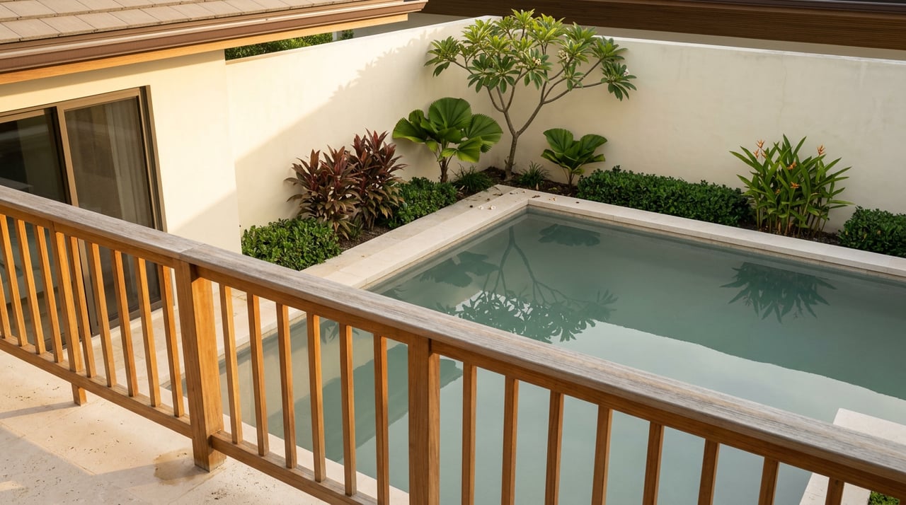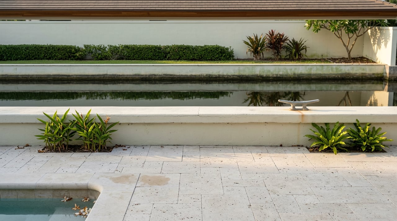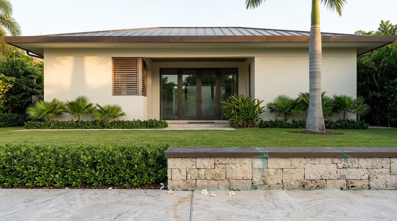
Two oceanfront listings go up on Kahala Avenue in the same month. Same zoning, same mile of coastline, same $10 million-plus price tier that estates on this street have carried for years. A buyer touring both would be forgiven for treating them as interchangeable. They are not. One property closes on schedule. The other stalls in due diligence when the buyer's attorney requests the state's file on that parcel and finds a decade of correspondence about a fence, a pool edge, and sand that used to be there.
That gap between two houses that look identical from the street is the story this year. Not the ocean. The paperwork.
The Line at Hunakai Street
Kahala Avenue isn't one uniform stretch of coastline, even though listing photos make it look that way. The roughly forty oceanfront parcels that run along this mile split into two distinct conditions at Hunakai Street. East of Hunakai, homes front a genuine sandy beach. West of Hunakai, the shoreline has long depended on a seawall for the same privacy and setback that sand provides naturally on the other side.
That split matters more than it used to. A seawall holds a line. Sand migrates. And when the state measures where your property ends and the public beach begins, it isn't using your fence or your survey from 1998. It's using the current upper reach of the wave wash, recalculated as conditions change. On the sand side of Hunakai, that boundary has been moving inland for years. A house that was comfortably set back from the water a decade ago can find its pool, its irrigation lines, or its landscaping sitting on what the state now considers public beach, without the owner changing anything at all.
What the State Found This Year
Between February and May of 2026, the Hawaii Department of Land and Natural Resources sent notices to at least eight Kahala Avenue property owners citing obstructions on the public beach: the side of a pool, sections of fencing, concrete rubble, exposed stairs, irrigation pipe, and vegetation that had crept past the legal shoreline as the sand eroded out from under what used to be private yard. The Honolulu Star-Advertiser, which documented the notices, described the affected estates and adjacent vacant lots as worth close to or more than $10 million apiece.
This isn't a new pattern for this street. The most visible precedent runs through 4623 Kahala Avenue, where the Asagami Corporation has owned an eight-bedroom, nine-bath home since 1989. DLNR's file on that property dates back to 2005. In June of 2024, a joint inspection by the state and the Honolulu Department of Planning and Permitting found that a fence and erosion-control materials at the edge of the property had collapsed into the ocean, and the owner faced an initial fine of up to $100,000 plus $10,000 a day until the violations were corrected. In the 2026 round of notices, DLNR flagged the same property again, this time for a pool that appears to encroach on the shoreline, a concern the agency says it first raised back in August of 2024 and never received a response to.
What changed in 2026 wasn't the coastline. It was the volume of enforcement. A story that used to be about one high-profile parcel is now a pattern across a stretch of street, and the mechanism behind it, ocean wash redrawing where private land ends, doesn't stop at any one lot line.
The File Stays With the Land, Not the Seller
Here's the part that catches buyers off guard during escrow. A DLNR notice, a shoreline certification, an unresolved encroachment question: none of it clears when the property changes hands. It's tied to the tax map key, not the name on the deed. Buy a parcel with an open file, and you inherit the file.
Hawaii's standard Oceanfront Property Addendum, used across the islands for exactly this reason, requires the seller to deliver copies of all past and existing State Shoreline Certifications as part of the disclosure package. That sounds like a formality until you look at how the certification process actually works. A certified shoreline is only valid for twelve months. After that, anyone wanting to build, or in some cases anyone wanting a lender to feel confident about the property line, needs a new one. And getting a new certification isn't a same-week process. It can take six months. It can take considerably longer if the certification is contested, which happens more often on streets where the shoreline has visibly moved.
For a seller, that means a listing without a current certification can mean disclosing an expired one, which invites the buyer's side to ask when the last one lapsed and why it wasn't renewed. For a buyer, it means asking the question before you're thirty days into a forty-five day escrow and discovering the answer requires a process that takes longer than the whole transaction. The state's own guidance on shoreline certification and the underlying rules for how it's measured are public record, and any escrow on this street should treat that file the way it would treat a title search.
Why a $15,000-a-Day Fine Doesn't Change the Math
DLNR's maximum daily penalty for an uncured violation is $15,000. On paper that sounds serious. Set against an estate worth eight or nine figures, it functions less like a deterrent and more like a cost of doing nothing. A Star-Advertiser opinion column published in July of 2026 made this point directly, arguing that the agency's enforcement authority tops out at a number that still isn't enough to compel some owners into compliance, and that every notice sent represents staff time, inspections, and legal review the state absorbs while the private ledger of an individual estate keeps its value.
The column also named the mechanism that makes this a street-wide issue rather than a single-lot problem: flanking. When one property hardens its shoreline with a wall or barrier, the wave energy that used to spread across a wider stretch of sand gets redirected, and erosion accelerates on the property next door. A neighbor's decision to armor their own shoreline can be the reason your unarmored lot starts losing sand faster than it used to.
That's the piece a comparative market analysis will never surface. Two comps with the same square footage and the same list price can carry entirely different exposure depending on what the parcel to either side has done to its own shoreline in the last five years.
What This Actually Means for a Fall Listing or Purchase
If you're weighing a sale on Kahala Avenue this season, or you're a serious buyer looking at oceanfront inventory here, the price conversation and the parcel-history conversation need to happen separately, and the second one benefits from starting first.
A few things worth confirming before a property goes on the market or before an offer goes in:
- Whether the specific parcel sits east or west of Hunakai Street, since that determines whether you're dealing with a sand-erosion boundary question or a seawall-maintenance question
- Whether a current, unexpired State Shoreline Certification exists for the parcel, and if not, how long ago the last one lapsed
- Whether DLNR's Office of Conservation and Coastal Lands has any correspondence on file for that TMK, including notices sent to a prior owner
- Whether any adjacent property has installed or is planning shoreline hardening that could accelerate erosion on the subject lot
None of this shows up in a walkthrough. It shows up in a records request, and it's the kind of homework that needs to happen before a listing agreement is signed, not after an accepted offer is sitting in escrow waiting on a document that takes months to produce.
A Few Questions Worth Asking Directly
Does this affect every home on Kahala Avenue, or just the ones named in the 2026 notices? The notices named at least eight properties, but the underlying condition, an eroding sand shoreline east of Hunakai Street, applies more broadly than the list of owners who've received a formal notice so far. A clean inbox doesn't mean a clean shoreline history.
If the violation happened under a previous owner, does a new owner start with a clean slate? No. The file is attached to the parcel. A new owner can be asked to cure a condition that was created, or worsened, before they held title.
Does a seawall on the west side of Hunakai mean those properties are exempt from this issue? It means a different set of questions, not none. Seawalls carry their own maintenance and permitting history, and the flanking effect means erosion happening on the sand side can still influence pressure on adjacent hardened shorelines over time.
Kahala Avenue has weathered a lot of ownership turnover, and most of it has gone smoothly. But the properties changing hands cleanly this year are the ones where someone did the parcel-level homework before the listing photos went up, not after an inspection contingency forced the question. If you're thinking about a move on this street, either direction, that's the conversation worth having first.
Tania Mahoni works this coastline closely and can walk you through what your specific parcel's file actually shows. Get your instant home valuation and we'll start there.